Start a reservoir outing with the kind of day you want: a walk, landscape photography or a quiet stop near the water. Those plans need different arrangements. An attractive shoreline does not guarantee public access, swimming permission or facilities. Use these places as starting points, then confirm a specific route before leaving.
Four reservoirs to consider
Navacerrada: a starting point for a mountain outing
Canal de Isabel II’s reservoir factsheet places Navacerrada on the Samburiel River and describes its role in supplying towns in the Sierra de Guadarrama. Build your outing around a confirmed public route and time in the town. Avoid relying on a fixed driving time from Madrid: your departure point, traffic and legal parking arrangements all matter.
El Atazar: a landscape shaped by water infrastructure
On the Lozoya River, El Atazar has the largest storage capacity in Madrid’s water-supply system, according to Canal de Isabel II. It may appeal if you enjoy landscapes and engineering. Choose a viewpoint or route with confirmed visitor access; technical information about a dam is not permission to explore its facilities.
Santillana: also listed as Manzanares el Real
Canal’s Manzanares el Real factsheet explains how the 1971 enlargement incorporated the earlier Santillana reservoir. That history adds something to a visit beyond taking photographs. Consider combining time in town with an outing nearby, without assuming there is an accessible path around the entire shoreline.
Pedrezuela: recognise its former name, El Vellón
Canal’s documentation identifies Pedrezuela, formerly called El Vellón, on the Guadalix River. Knowing both names helps when comparing maps with older guides. If sunset photography is your aim, plan the return before choosing your spot. A promising view is no reason to enter private land, cross a fence or improvise a route after dark.
Plan El Pardo as a separate visit
The entire woodland and reservoir shore should not be described as an open public park. Patrimonio Nacional identifies a public-use area south of the historic settlement and describes the Valpalomero and Peñarrubia trails. Use that visitor information to select a marked walk. Water appearing nearby on a map does not establish free access to its banks.
What if you want to swim?
Check the Community of Madrid’s official bathing areas. The four reservoirs above are not listed as designated bathing areas there. For a different destination, our San Juan Reservoir guide explains why beaches, seasons and current notices need separate checks.
A practical checklist before leaving
- Save the exact starting point and return route, rather than only the reservoir name.
- Check the managing authority’s notices, the weather and your transport arrangements for that day.
- If accessibility matters, ask about surfaces, gradients, shade and toilets.
- Take drinking water and a way to carry your rubbish home; confirm any food stop you depend on.
- Have an alternative plan in town if a route is closed or the weather changes.
Which reservoir is best for a family?
Choose the outing that fits the people coming with you. Compare actual walking distance, rest stops, accessibility and the journey home, rather than treating a photograph or a “best” label as a recommendation for everyone. A short, manageable outing can be a rewarding day.
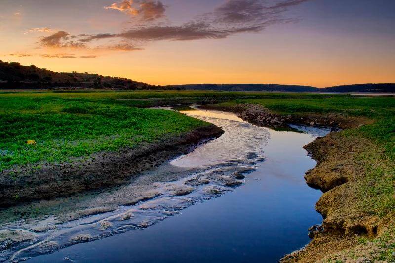
Archive landscape image used for atmosphere; it does not identify a visitor access point or show current conditions at these reservoirs.